The solution? An integration tool that connects space data information, structural representation of space, and geospatial location using GIS (Geographical Information System) with Google Maps.
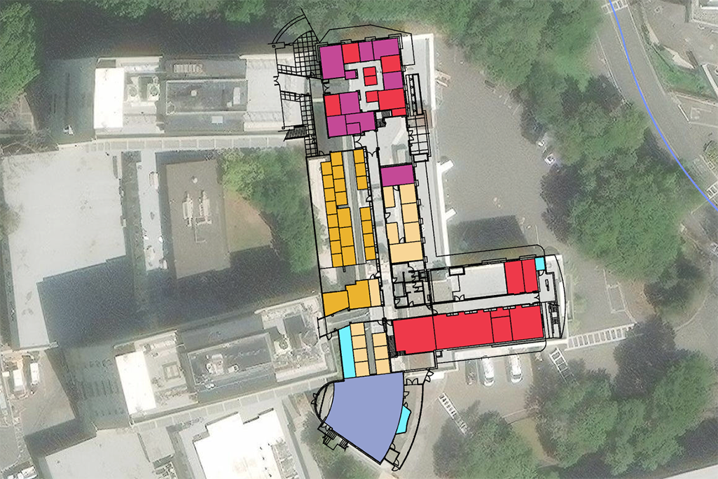
The GIS Building Keyplan Dashboard interacts with Google Maps to provide navigation of the Lab’s hill site and offsite buildings divided into zones. On the dashboard, you can search for a building key plan by entering the number of the building and selecting the floor, or scrolling down the list. Once you select the building/floor and key plan type, the key plan appears on the map. You can zoom in and select a room and space details will appear. Also, the dashboard includes the building/floor summary plus the listing of all key plan types in PDF format.
The key plans will still be published in PDF format and located in the A-Z index under Keyplans. The features will remain with color coding depending on the key plan types: Base, Division Allocation, Employee Location, and Space Use. Space data information, such as room number, square footage, space use, division allocation, and employee name, will still be included in the key plans.
Resources
- Link to the new dashboard; if not at a Lab site, you must use VPN to access the dashboard
- Use these instructions to learn how to navigate the Berkeley Lab ArcGIS Archibus Dashboard.
Contact spaceplanning@lbl.gov if you have any questions.
