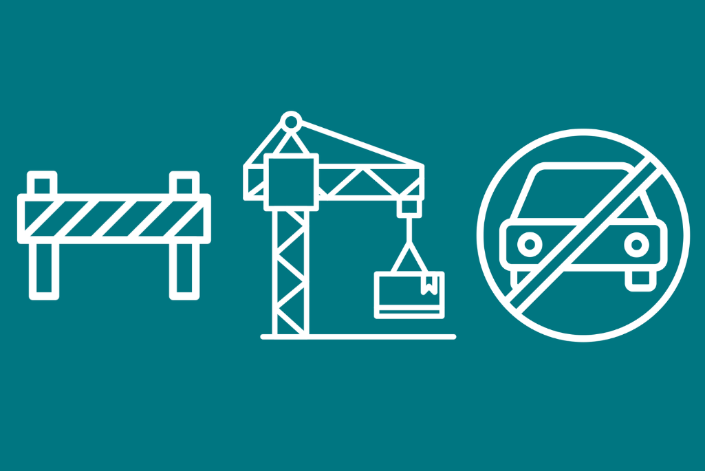
Stay informed about what’s happening across the Lab’s hill site with the Site Impacts Map, your real-time guide to project-driven or event-driven interruptions. Whether you’re an employee, affiliate, or visitor, this interactive tool helps you plan accordingly and anticipate potential disruptions affecting parking, shuttles, traffic, food trucks, and site access.
Using the map is straightforward, whether on desktop or mobile. Here’s how:
- Use the slider at the top of the page to select your date range
- Click or tap on the marked areas for:
- Impact details
- Duration
- Affected locations
- Mitigations
- Project contact information
- Some projects will show multiple impacts — click or tap on each for more specific details
A centralized source of information for all impacts across the hill site, this versatile map serves many purposes for our Lab community. Employees and affiliates can plan their commute more effectively and avoid delays, while building managers can stay informed about activities near their facilities. Meeting organizers and event planners can check for potential disruptions before reserving conference rooms and spaces. Moreover, project teams can better plan new initiatives, and visitors can navigate the hill site more easily.
The map is updated regularly by several division partners including the Facilities Division, Projects & Infrastructure Modernization Division, and Conference Services, helping our community plan ahead with the most up-to-date information on hill site impacts.
For administrative questions related to this map, contact siteimpacts@lbl.gov.
