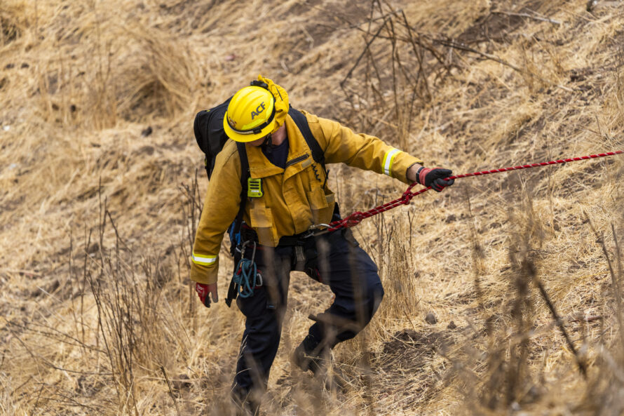
Preparedness Lunch & Learn: Staying Safe and Connected -Lockdown Readiness and Emergency Communication

Video: Go Bag 101

Replay: Understanding Wildfire Behavior

Ready for Anything: A Conversation About Preparedness Month

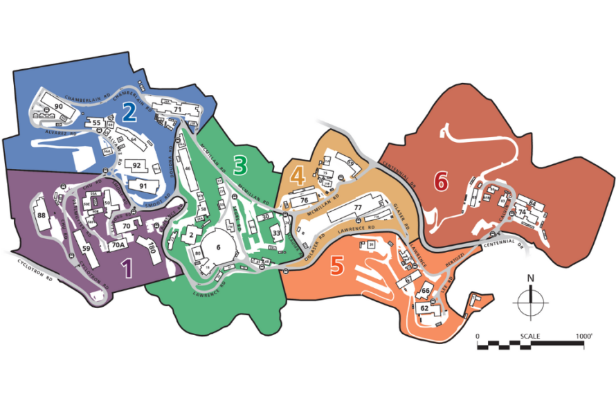
Download an Updated Zone Map Showing New Wildfire Refuge Buildings

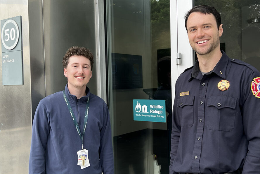
Not If, But When: Newly Designated Wildfire Temporary Refuge Buildings at the Lab
Know Your Zone: Emergency Preparedness Zone Changes
Lab Security DOE Award Honor Hung in B50A

Download FEMA’s Mobile App for Disaster Preparedness
The Two Numbers You Should Have in Your Phone
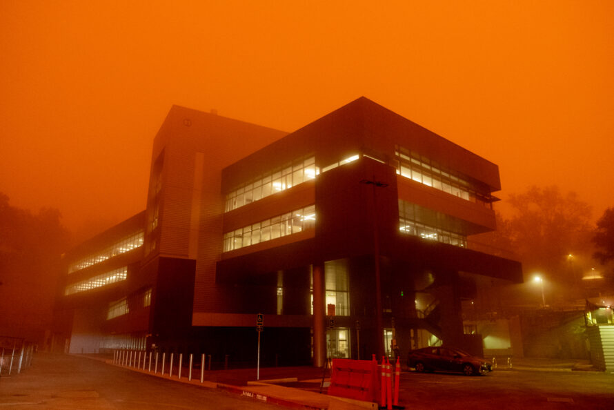
Find Out If Our Air Quality is Impacted by Wildfire Smoke
Rescue Drill at Hill Site on Friday, Nov. 3